


Distance :
8.52km
Signpost
Loop :
Yes
Difficulty :
Intermediate
Duration :
2h 00
Elevation gain :
268m
Elevation loss :
268m
Starting point :
50.021109,5.118966
Description
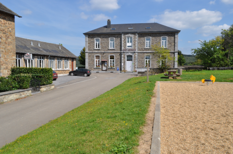
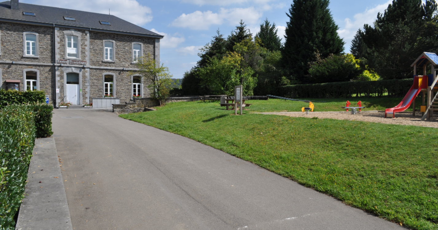
U.Bezoekerscentrum en toeristische dienst (VOIR D3)
V.De Kastanjedreef (VOIR D1)
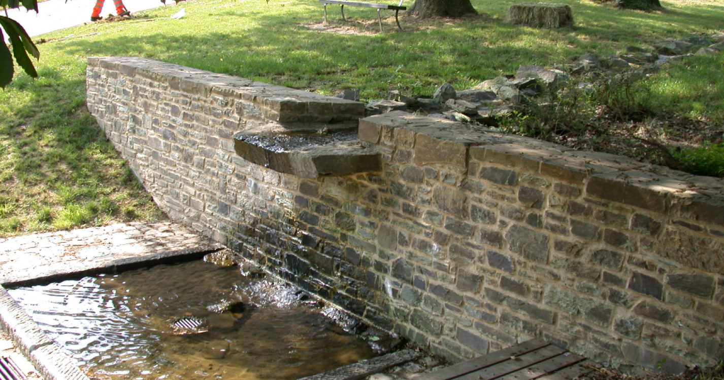
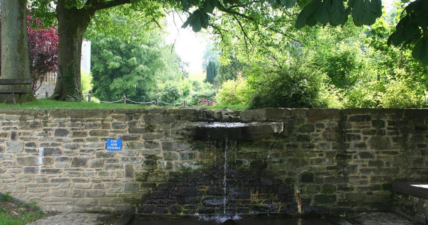
W.Fontein Bert (VOIR D1)
X.Begraafplaats van Daverdisse (VOIR D1)
Y.La charée aux nouvelles
Deze wei draagt de naam « Charée aux nouvelles ». In 1940 beklom de postbode de heuveltjes niet tot aan het dorp. De kinderen wachtten op deze wei op de post.
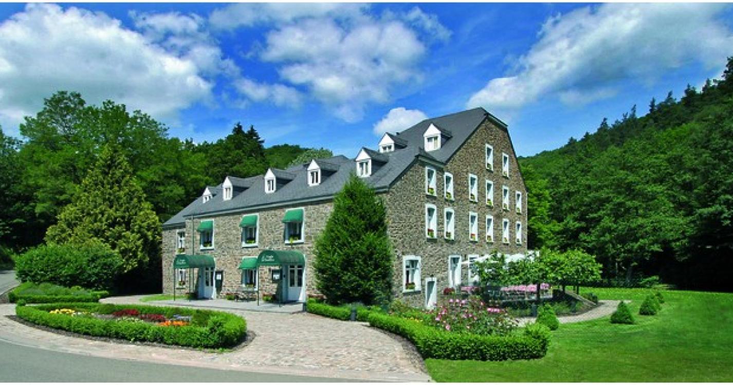
Z.Molen van Daverdisse
Dit is een gewone oude molen die werd omgebouwd in een gastronomisch hotel-restaurant.
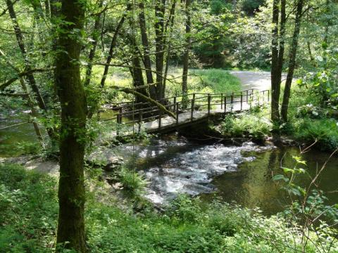
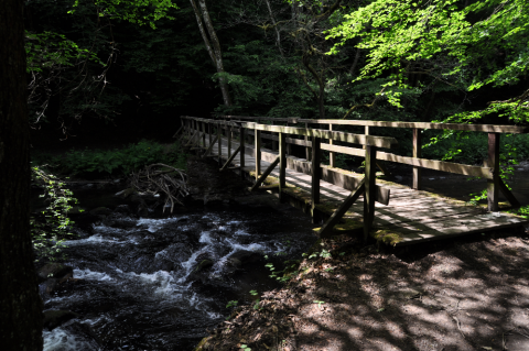
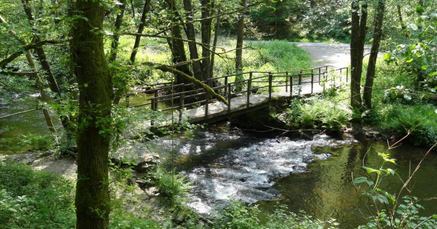
AA.Brug van Fays (VOIR D3)
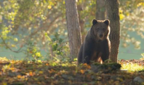
BB.Zicht op "le pic vert"
De PICVerts is een oud tramspoor dat werd gerenoveerd voor het plezier van de wandelaars.
Ardennes-étape Privilege
Loading...
With your reservation, you automatically receive one month of Premium access to SityTrail, a GPS app that allows you to discover lots of great trails near your holiday home!
How do you activate your free access to SityTrail?
- Go to your customer account, Benefits section
- Click the link to create your account on the SityTrail website
- Download the app
- Explore the Ardennes!
Altimetric profile
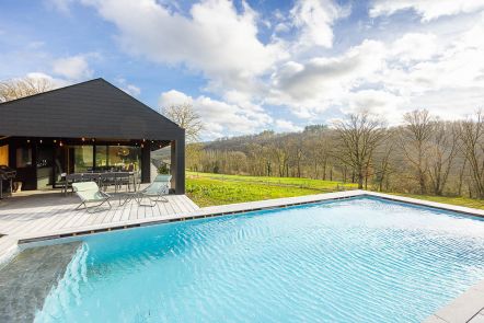
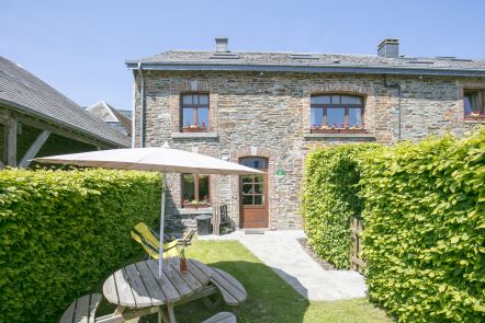
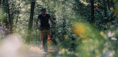
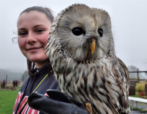
Explore the surroundings