
Distance :
9.4km
Loop :
Yes
Difficulty :
Easy
Duration :
2h 54
Elevation gain :
257m
Elevation loss :
257m
Starting point :
50.238298,4.908313
Description
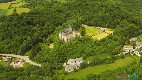
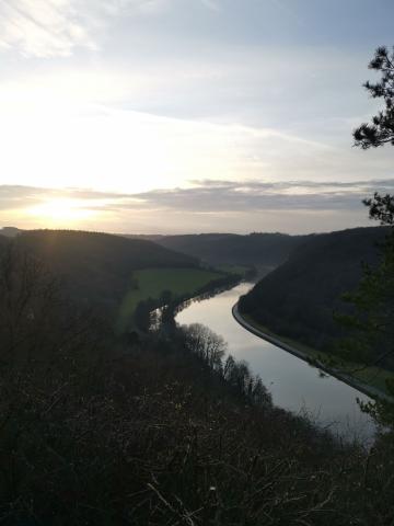
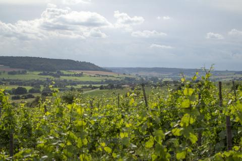
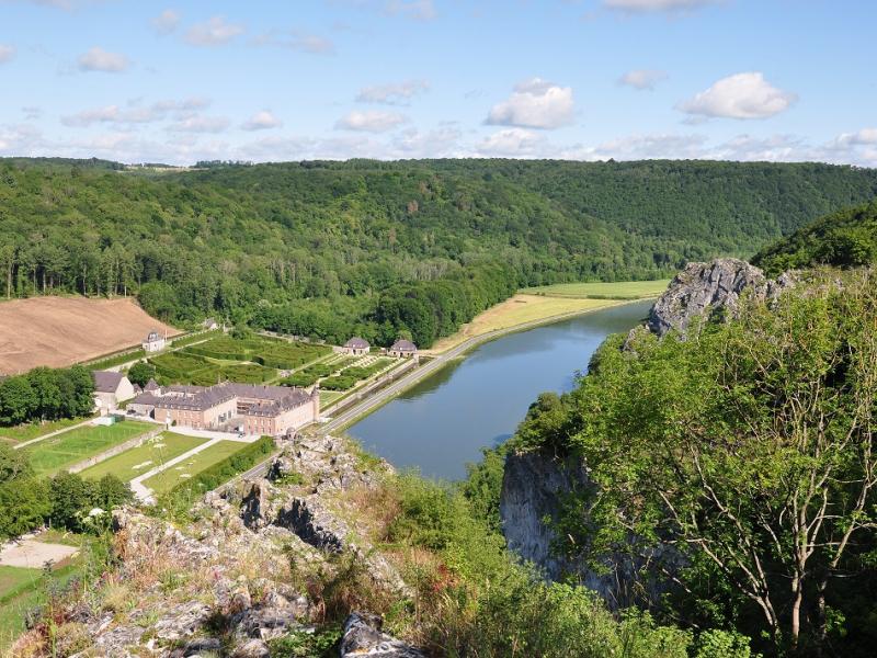
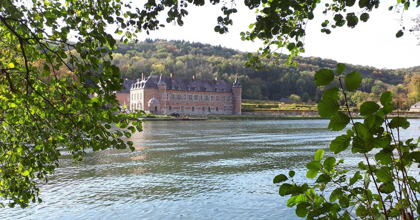
Trail created by Vallée de la Meuse Namur-Dinant.
Climb above the rocky massifs classified Natura 2000 and observe the castle of Freÿr from the different panoramas. You will be amazed !
Ardennes-étape Privilege
Loading...
With your reservation, you automatically receive one month of Premium access to SityTrail, a GPS app that allows you to discover lots of great trails near your holiday home!
How do you activate your free access to SityTrail?
- Go to your customer account, Benefits section
- Click the link to create your account on the SityTrail website
- Download the app
- Explore the Ardennes!
Altimetric profile
Explore the surroundings
/Holiday-cottage-Sauna-105494-01/Fiche_G-Holiday-homes-105494-01-Doische-(Dinant)-1529400-1L.jpg)