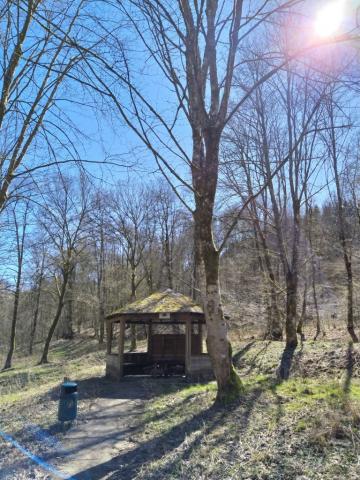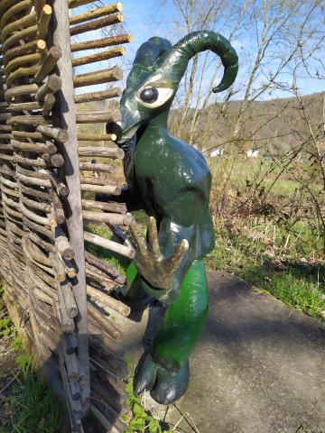
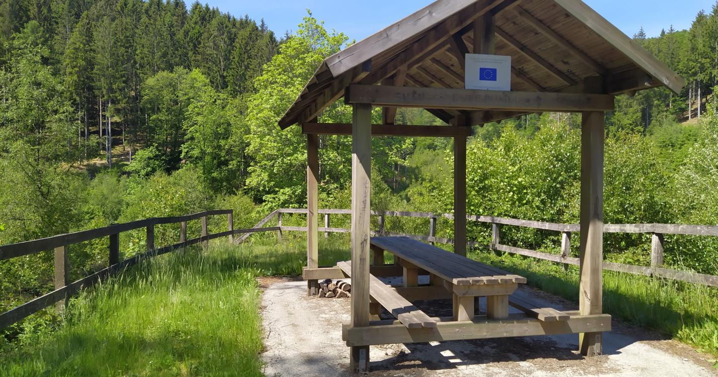
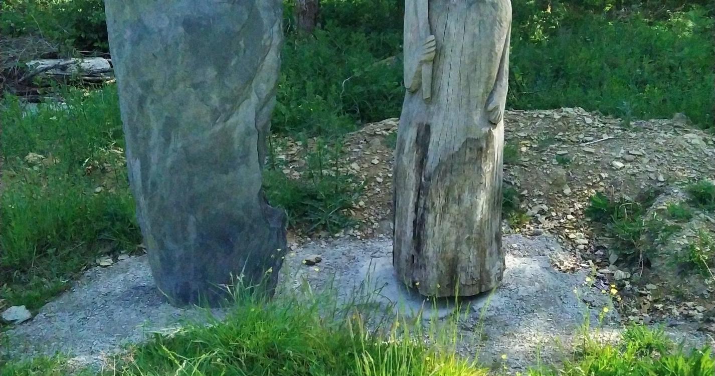
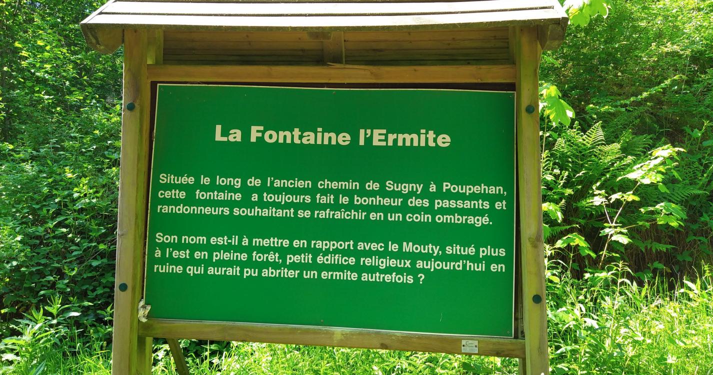
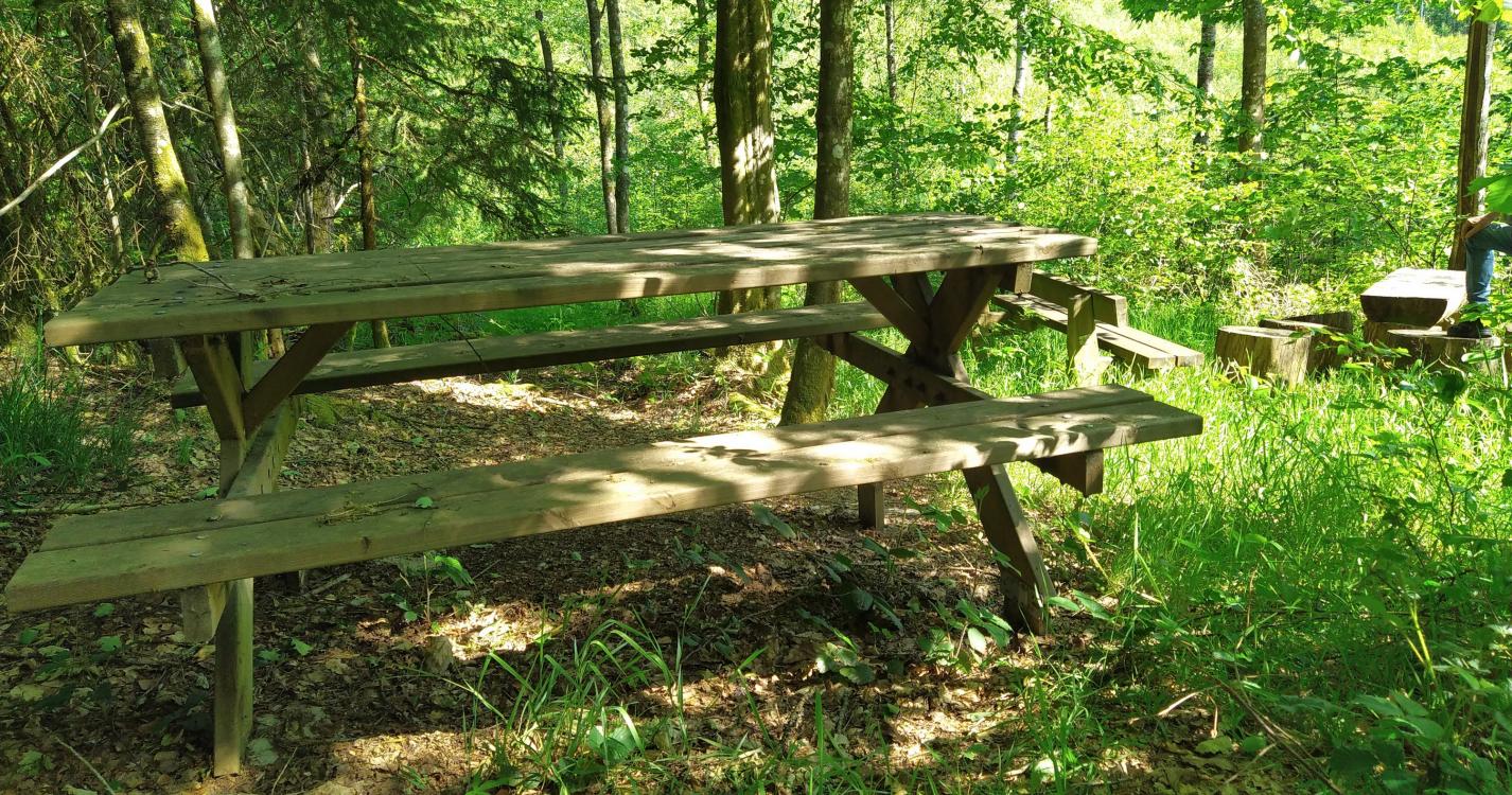
The first part of the walk is marked by scattered sculptures and educational panels about the forest. You will also discover a reconstructed forest workers' hut. Two covered picnic areas provide the opportunity to take a break halfway through the hike.
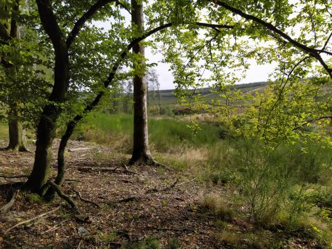
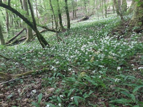
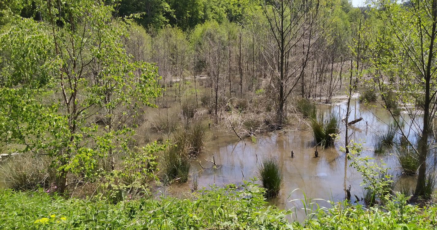
Further on you can see the result of the beaver's work; the walk is partly diverted via the road to avoid the flooded area.
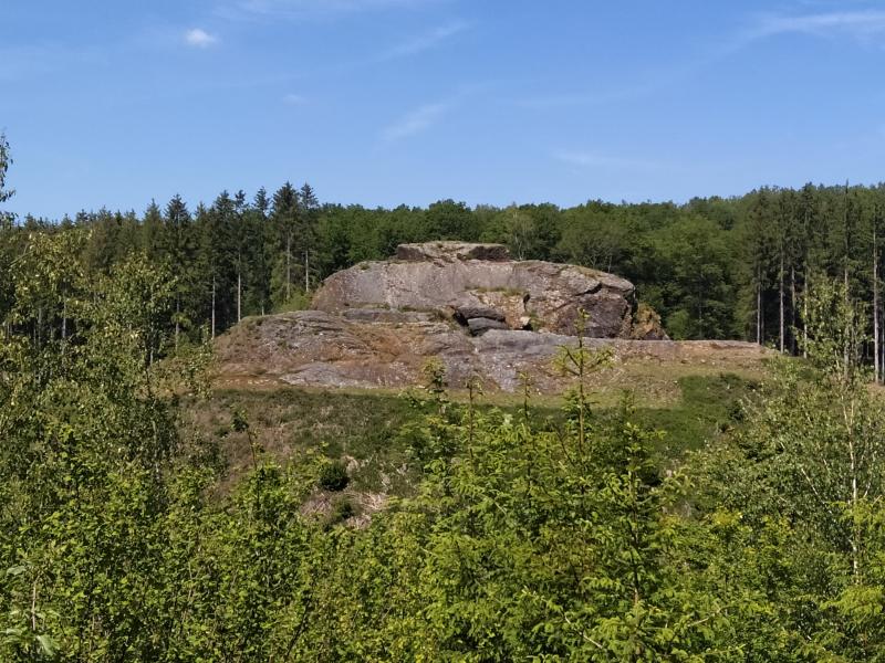
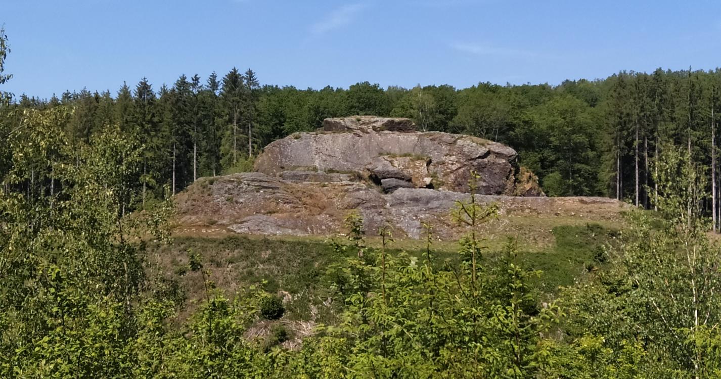
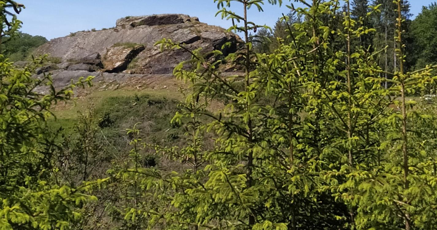
On the way back you can see the Tchesté de la Roche on the other side of the road.
Ardennes-étape Privilege
With your reservation, you automatically receive one month of Premium access to SityTrail, a GPS app that allows you to discover lots of great trails near your holiday home!
How do you activate your free access to SityTrail?
- Go to your customer account, Benefits section
- Click the link to create your account on the SityTrail website
- Download the app
- Explore the Ardennes!
Altimetric profile
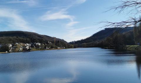
Explore the surroundings