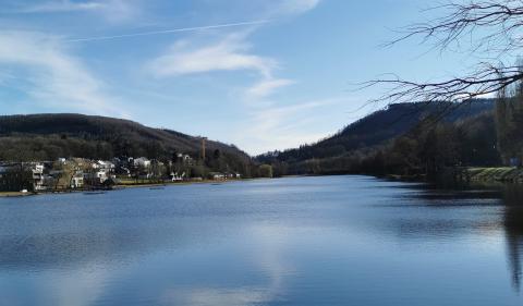


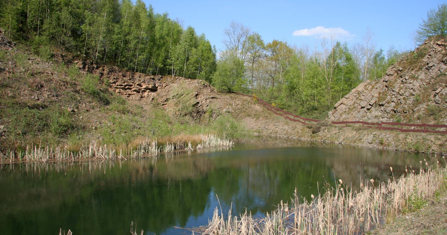
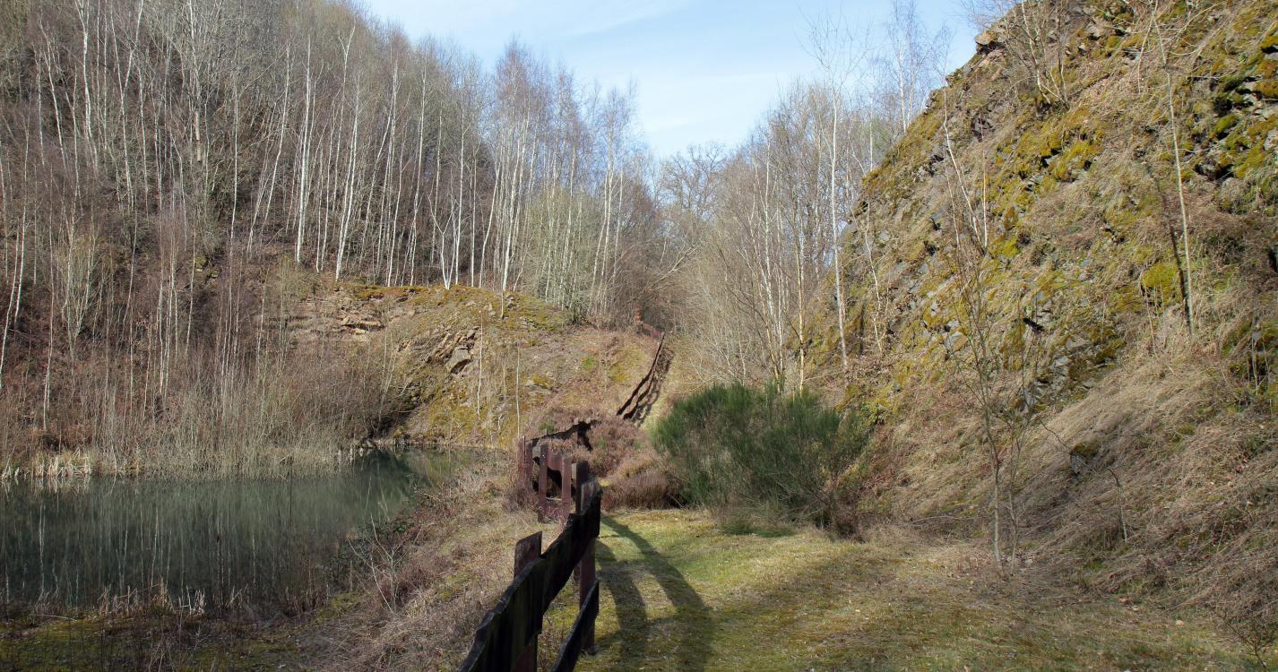
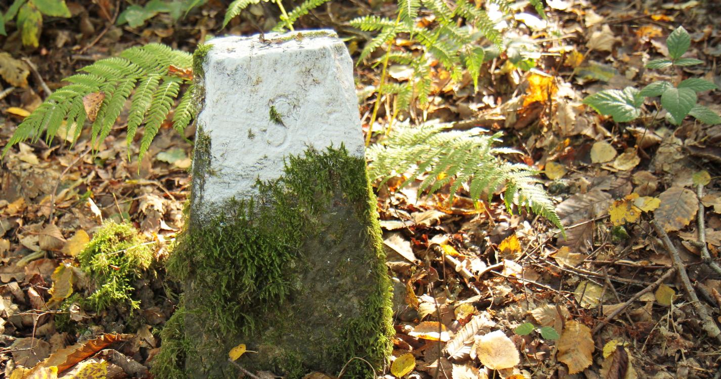
Take a breath of fresh air within the forest range of the Solre woods, with a magnificent view of the former quarries. The Solre woods are a range that primarily comprise oak stems, beech trees and hornbeams, not to mention the oldest tree in the forest: an oak that is more than 400 years old. Along this route, old Dutch boundary markers outline the borders between France and the Netherlands in 1819. Located within a forest range on the right-hand bank of the Thure river, areas of biological interest invite relaxation, with ponds and bodies of water in which no fewer than nine species of amphibian breed.
Ardennes-étape Privilege
With your reservation, you automatically receive one month of Premium access to SityTrail, a GPS app that allows you to discover lots of great trails near your holiday home!
How do you activate your free access to SityTrail?
- Go to your customer account, Benefits section
- Click the link to create your account on the SityTrail website
- Download the app
- Explore the Ardennes!
Altimetric profile
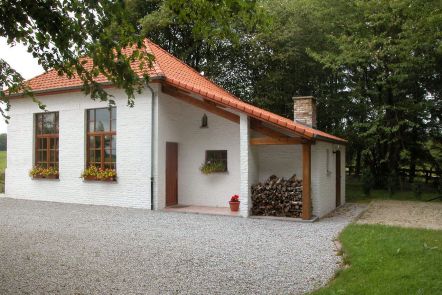
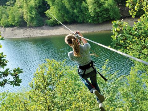
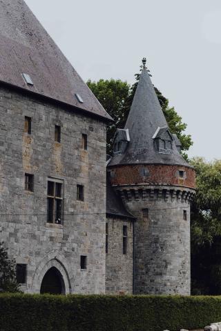
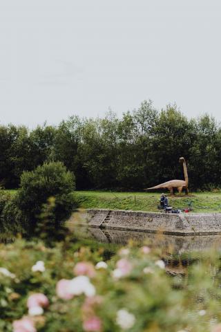
Explore the surroundings