Distance :
8.32km
Signpost
Loop :
Yes
Difficulty :
Easy
Duration :
2h 29
Elevation gain :
197m
Elevation loss :
194m
Starting point :
50.62253429931951,6.075825
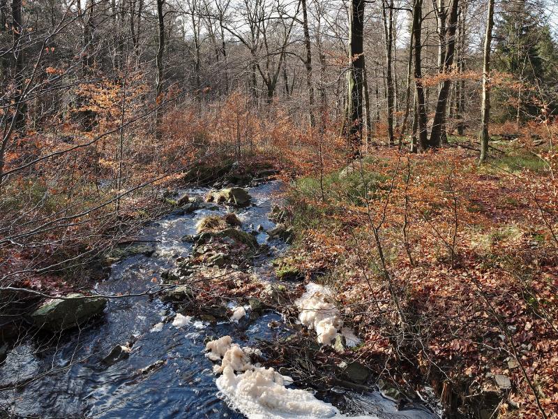
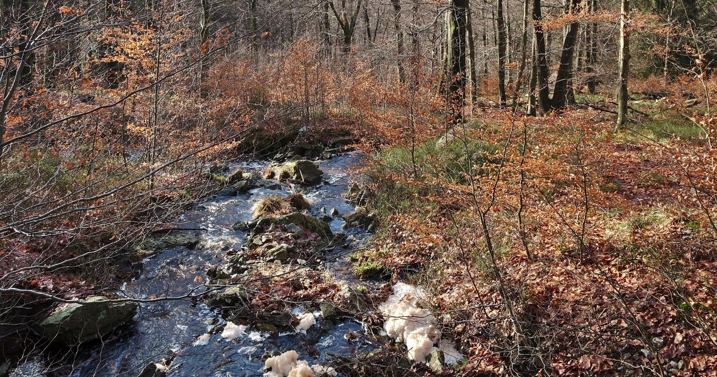
Description
Trail created by Stadt Eupen.
Symbol: Blaues vertikales Rechteck
Symbol: Blaues vertikales Rechteck
Ardennes-étape Privilege
Loading...
With your reservation, you automatically receive one month of Premium access to SityTrail, a GPS app that allows you to discover lots of great trails near your holiday home!
How do you activate your free access to SityTrail?
- Go to your customer account, Benefits section
- Click the link to create your account on the SityTrail website
- Download the app
- Explore the Ardennes!
Altimetric profile
Explore the surroundings