Distance :
8.06km
Signpost
Loop :
Yes
Difficulty :
Intermediate
Duration :
2h 09
Elevation gain :
138m
Elevation loss :
139m
Starting point :
50.088749,5.260019
Description
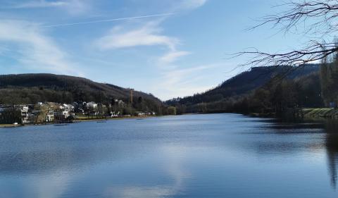
The Chemin des Bruyères wears well its name! Indeed, besides the remarkable building that can be seen in the heart of Bure, this commune reveals a natural heritage admirable.
There are many floral species along the Chemin des Bruyères, which reveal a superb west-north-west point of view, on the surrounding countryside, up to the Lesse valley.
Here you will find the Champ des Bœufs, covered with small rhinanths and centaurées from there, the site of Maralles. This wetland, dominated by rock outcrops, is bordered by thorny bushes such as hawthorn and blackthorn, and a wide variety of plant species including reflected orbit, acrid root, winged broom, Serpole, cornflower and yellow helianthemum, which will delight botanists and the happiness of the uninitiated.
The locality Bottle, offers a vast panorama on the Ardennes promontory south-southwest and closer, on the calcareous plain mainly cultivated of cereals.
On your way back, you can admire the old castle of Bure, which now houses the Collège d'Alzon, before joining the Saint Lambert church. This classic style construction made of limestone and sandstone has a beveled base. The key to the portal dates from 1738. The presbytery dates back to the second half of the 18th century.
Not far from there is the royal fountain, equipped with a cast iron pump dating from the 19th century with a limestone drinking trough. Discover other fountains in the village. Some of them remain in the Rue de Mirwart (in front of No. 21), Rue de Grupont (opposite No. 21) and Rue de Tellin (facing No. 4 and 16).
Ardennes-étape Privilege
Loading...
With your reservation, you automatically receive one month of Premium access to SityTrail, a GPS app that allows you to discover lots of great trails near your holiday home!
How do you activate your free access to SityTrail?
- Go to your customer account, Benefits section
- Click the link to create your account on the SityTrail website
- Download the app
- Explore the Ardennes!
Altimetric profile
Explore the surroundings