
Distance :
6.95km
Signpost
Loop :
Yes
Difficulty :
Intermediate
Duration :
1h 59
Elevation gain :
156m
Elevation loss :
156m
Starting point :
50.088754,5.260019
Description
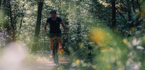
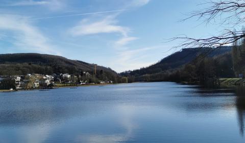
At the foot of the slopes of the valley of Lhomme, a path embellished with charming bridges borrows the banks of this river.
You can reach it via the sites of Petits Ris (dry grassland) and Hambai. Here, the forest consists mainly of sycamore maples and mountain ash trees. These species allow the development of an undergrowth rich in purple foxglove and serpole.
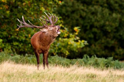
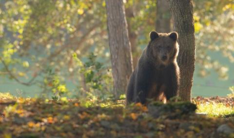
The Pont des Clôyes is a privileged place of observation. Bring binoculars to see the mallards, herons, magpies and kingfishers that inhabit this site.
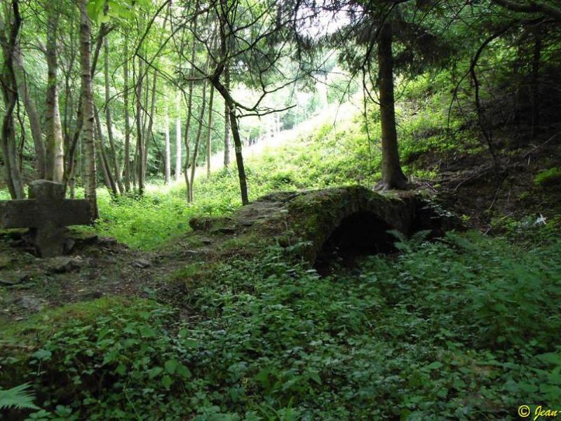
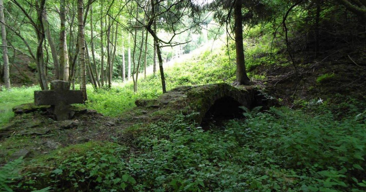
Numerous varieties of ferns abound on the slope of the Mirwart Way, overhanging the Man. Ivy and hawthorn are also found there. Although not very visible, the presence of sources is notable near the road.
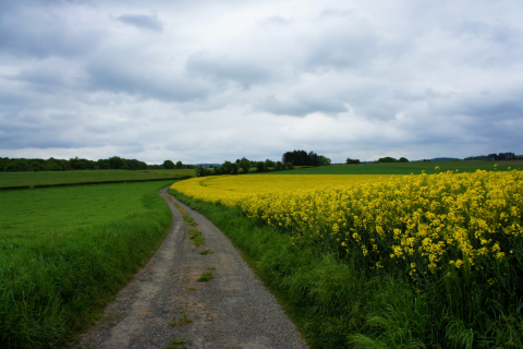
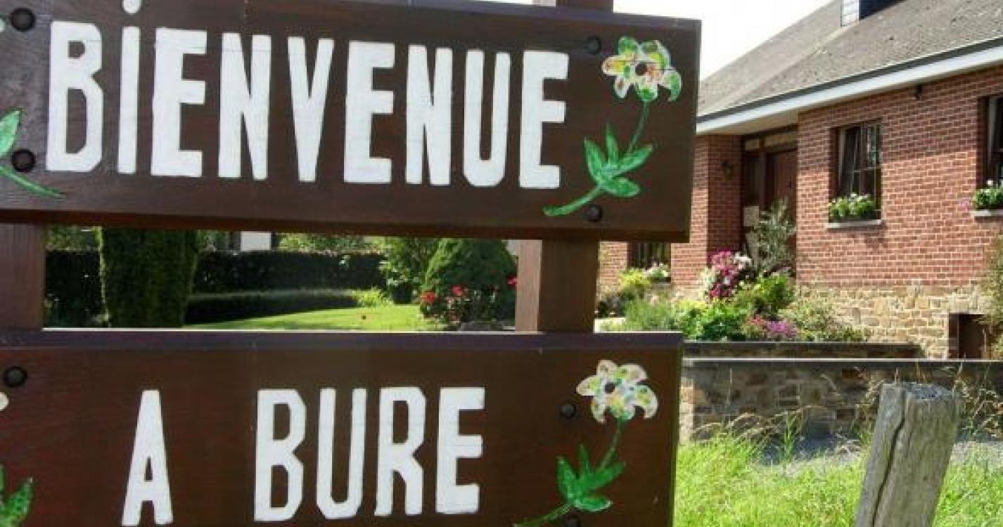
From Les Minires to Bure, you will find the peculiarities of the Thiers de Bure hill (land of raptors), the Pont de Fornès, which spans the Lhomme, from the valley viewpoint, as well as the characteristics of the remarkable heritage in the description Of the Chemin des Bruyères.
Ardennes-étape Privilege
Loading...
With your reservation, you automatically receive one month of Premium access to SityTrail, a GPS app that allows you to discover lots of great trails near your holiday home!
How do you activate your free access to SityTrail?
- Go to your customer account, Benefits section
- Click the link to create your account on the SityTrail website
- Download the app
- Explore the Ardennes!
Altimetric profile
Explore the surroundings