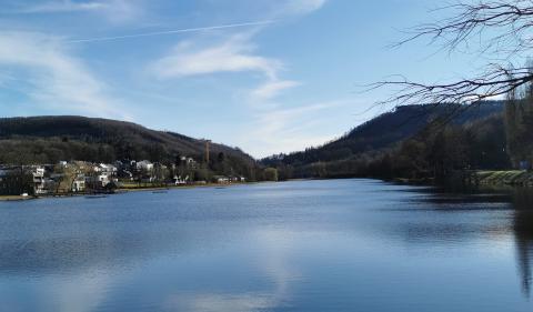
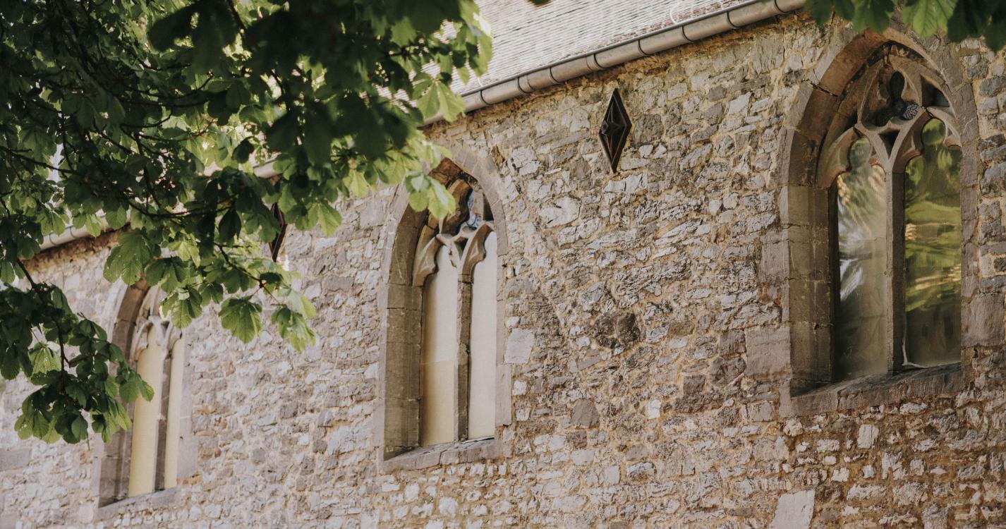

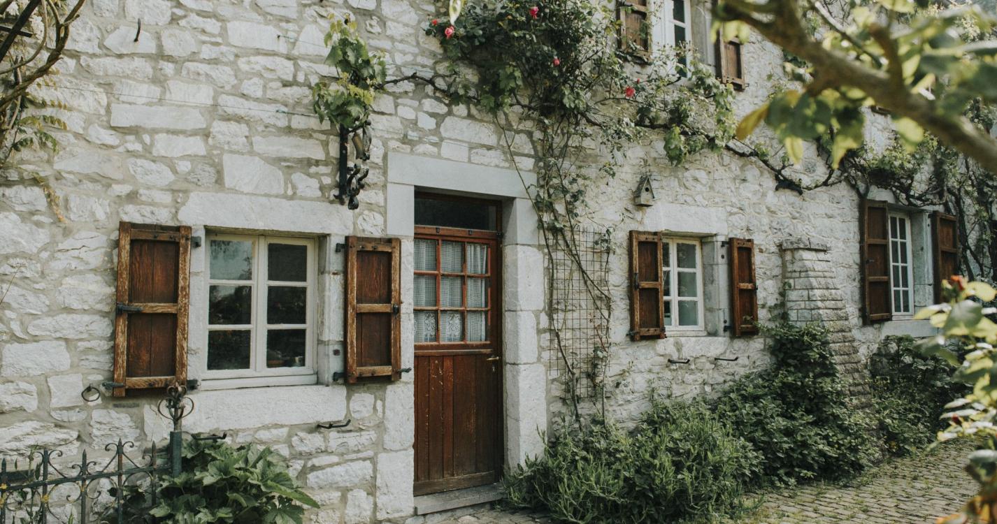
This short walk, which departs from Sainte-Colombe church in Soulme, crosses a wooded area to the south of the village. A sign dating from the German occupation during World War II still hangs on the gable of a former farmhouse, which forms the corner of Rue Désiré Mathieu and the path that leads to Hamoir Mill. The walk passes close to the former Falize quarrying site, which was used to construct the village itself. There were also pastures for goats and sheep on the limestone lawns. The village, which is listed as one of the Most Beautiful Villages of Wallonia, has retained its traditional architecture, the source of its charm. The Romanesque Sainte-Colombe church was built from limestone rubble during the 11th century and is surrounded by the cemetery walls. These are bordered by a stunning row of large chestnut trees.
Ardennes-étape Privilege
With your reservation, you automatically receive one month of Premium access to SityTrail, a GPS app that allows you to discover lots of great trails near your holiday home!
How do you activate your free access to SityTrail?
- Go to your customer account, Benefits section
- Click the link to create your account on the SityTrail website
- Download the app
- Explore the Ardennes!
Altimetric profile
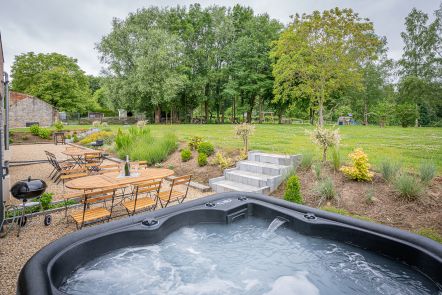
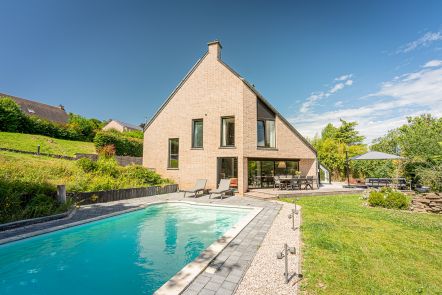
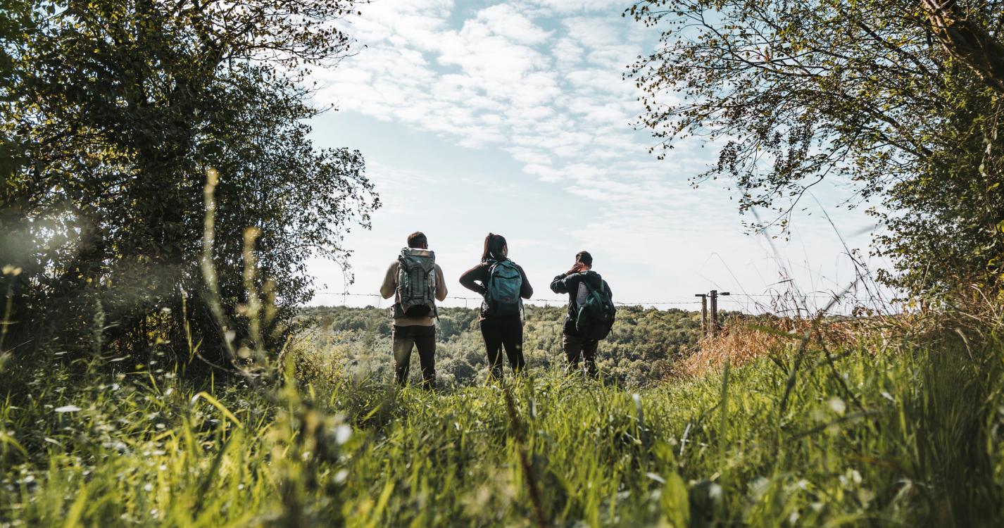
Explore the surroundings